NASA - SatCORPS - Field Experiments
Langley GOES Satellite Support for SEAC4RS
Latest Satellite Imagery and Products for SEAC4RS Field Experiment Click image to see latest satellite imagery and products. |
Quick Links3 Hour GIF Loops
+ GOESW WV loop+ GOESW IR loop + GOESE WV loop + GOESE IR loop Cloud Products
+ RGB false color+ IWP + LWP + Cld Top Height + Cld Base Height + Phase GOES Single Img
+ IR+ VIS + WV Archive
GOESW Cloud Prod
GOESE Cloud Prod
GOES-Floater Img
GOESW Sat Img
GOESE Sat Img
KML Files
|


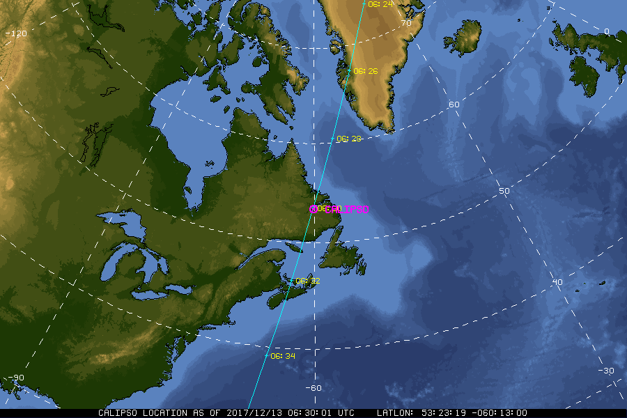
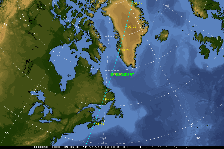
| Current Location of A-Train Satellites (updated every 30 sec) | ||

|
|
|
| A-Train | Calipso | CloudSat |
|
|
NASA Fact
The Cassini spacecraft will fly close to Saturn 76 times and visit its moon Titan 45 times. The Huygens probe will have the closest view of Titan, and Titan will be the most distant object from Earth ever to be studied by a probe!
- + Freedom of Information Act
- + Budgets, Strategic Plans and Accountability Reports
- + The President's Management Agenda
- + Privacy Policy and Important Notices
- + Inspector General Hotline
- + Equal Employment Opportunity Data Posted Pursuant to the No Fear Act
- + Information-Dissemination Priorities and Inventories
- + USA.gov
- + ExpectMore.gov
- NASA Official: William Smith
- Website Curator: Louis Nguyen
- + Contact Langley
- + Contact Team Members