Hurricane and Severe Storm Sentinel (HS3) Mission
Hurricane and Severe Storm Sentinel (HS3) Mission
Hurricane and Severe Storm Sentinel (HS3) Mission
The Hurricane and Severe Storm Sentinel (HS3) is a five-year mission specifically targeted to investigate the processes that underlie hurricane formation and intensity change in the Atlantic Ocean basin.
Latest Satellite Imagery and Cloud Products:
Full Domain

Atlantic Domain
|
Gulf of Mexico Domain
|
Cloud Products
|
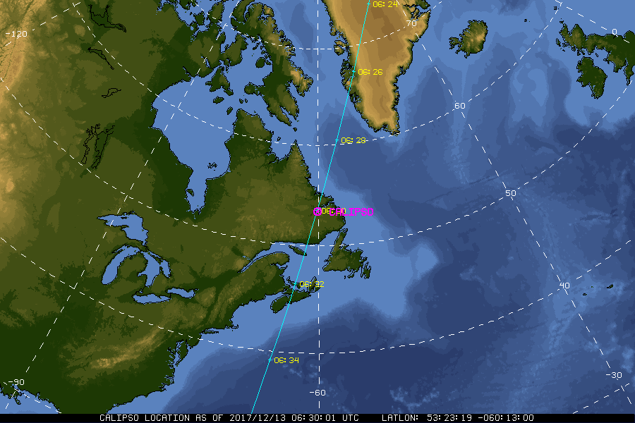
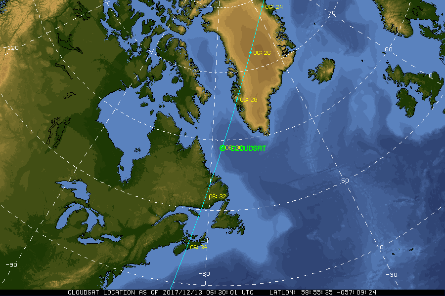
| Current Location of A-Train Satellites (updated every 30 sec) | ||

|
|
|
| A-Train | Calipso | CloudSat |
|
|
NASA Fact
On August 25, 1932 Amelia Earhart set three records for women flyers: the first non-stop U.S. crossing, the longest distance record, and a coast-to-coast record time.
- + Freedom of Information Act
- + Budgets, Strategic Plans and Accountability Reports
- + The President's Management Agenda
- + Privacy Policy and Important Notices
- + Inspector General Hotline
- + Equal Employment Opportunity Data Posted Pursuant to the No Fear Act
- + Information-Dissemination Priorities and Inventories
- + USA.gov
- + ExpectMore.gov
- NASA Official: William Smith
- Website Curator: Louis Nguyen
- + Contact Langley
- + Contact Team Members